
")
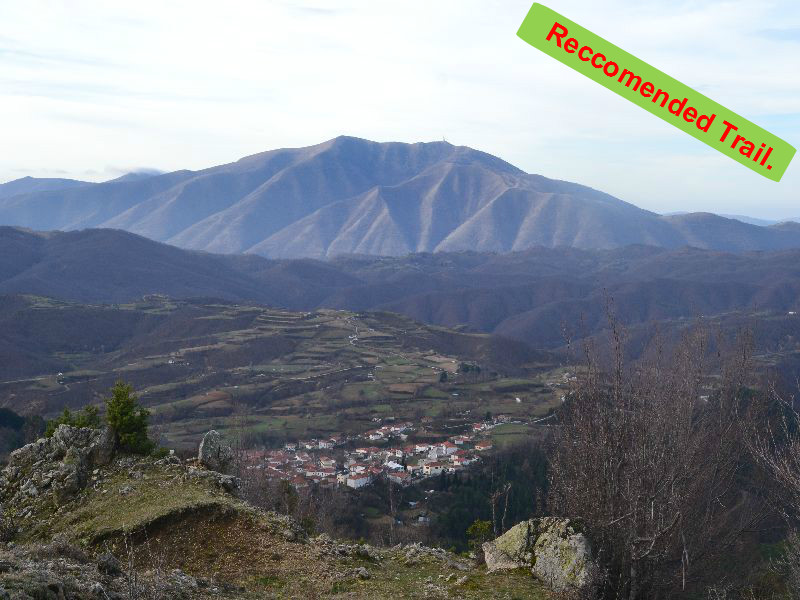
Route length: 15,5 km.
Duration: 7 hours.
Altitudinal slope: Ascent: 1.062 meters Descent: 1.240 meters.
Route description: Circular Ascent-Medium difficulty.
Recommended to: All mountaineering clubs, as well as individuals with certain experience in mountain trails.
Season: All year around, on condition that there is no snow.